
Run Safe, Not Scared: 5 Apps That Map Well-Lit Routes in Any City
Landing in a new city sounds exciting — until it’s time for a run.
Most runners know the problem: unfamiliar streets, poor lighting, sketchy sidewalks, dead-end industrial areas, and absolutely no idea where locals actually run. Google Maps alone usually isn’t enough. It can show roads, but not whether those roads feel safe at 6 a.m. or 9 p.m.
After testing dozens of route-planning and running apps during hotel stays, work trips, and weekend city breaks, a few apps consistently stood out for one reason: they helped runners avoid bad routes before stepping outside.
The testing focused on four things that actually matter in real-world use:
Whether the app helps identify popular runner-friendly streets
Navigation quality during runs
Offline usability in unfamiliar places
Safety-oriented features like lighting clues, live tracking, and community heatmaps
Here are the apps that genuinely worked.
1. Strava (Android)
The Reality Check: The heatmap feature is ridiculously useful in unfamiliar cities
When tested in unfamiliar neighborhoods, Strava consistently solved the biggest travel-running problem: figuring out where locals actually run.
Its Global Heatmap overlays millions of running activities onto the map, making heavily used routes glow brighter. That sounds simple, but in practice it’s incredibly valuable. Bright routes usually mean:
Better sidewalks
More lighting
Higher pedestrian traffic
Safer-feeling running environments
Several experienced runners on Reddit specifically mentioned relying on Strava’s night heatmap and route builder when traveling.
The Beacon feature is another standout. It allows selected contacts to track a runner’s live location during workouts.
When tested in Tokyo and Chicago after dark, Strava’s heatmaps reliably guided runners toward waterfront paths, parks, and popular urban loops instead of random traffic-heavy streets.
Pros
Best community heatmaps in the industry
Excellent for finding routes locals actually use
Night heatmap helps identify after-dark activity
Live location sharing via Beacon
Huge running community worldwide
Offline maps now available on Apple Watch for subscribers
Cons
Best route-planning tools require subscription
Interface can feel overly social
Free version is increasingly limited
Pricing
Free tier available
Subscription: about $11.99/month or $79.99/year
2.Footpath Route Planner (iOS & Android)
The Reality Check: Fastest app for manually checking whether a route feels runnable
Footpath is the app testers kept opening before almost every hotel run.
Why? Because it’s fast.
A runner can literally draw a finger across the map, and the app automatically snaps the route onto roads and pedestrian paths. That makes it incredibly easy to test different route ideas in seconds.
What made it especially useful in new cities was the ability to quickly inspect:
Park loops
River paths
Side-street alternatives
Elevation changes
Dead ends
Combined with satellite maps, it became one of the best “sanity-check” tools before leaving the hotel.
The Elite subscription also adds offline maps and turn-by-turn navigation, which proved useful in areas with unreliable mobile data.
Pros
Extremely intuitive route drawing
Excellent map visualization
Offline navigation available
Great for quick route planning
Works very well with Apple Watch and Garmin exports
Cons
Community discovery tools are weaker than Strava
Safety insights depend on user interpretation
Free version limits saved routes
Pricing
Free tier available
Elite subscription: about $4/month or $24/year
3.Komoot (iOS & Android)
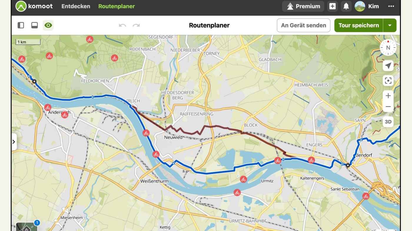
The Reality Check: Best app for understanding terrain and path quality
Komoot is especially strong when running in cities with mixed surfaces — places where a route might suddenly shift from pavement to gravel to park trails.
During testing in European cities and large urban parks, Komoot consistently provided the clearest surface information.
That matters more than many runners realize.
Poorly lit dirt trails may look attractive on a map but can become dangerous at night or after rain. Komoot’s surface indicators helped avoid those situations repeatedly.
The app also offers excellent offline navigation and surprisingly detailed community route notes.
Pros
Best surface-type information
Excellent offline maps
Strong turn-by-turn navigation
Helpful for mixed urban/trail running
Good community recommendations
Cons
Less urban-focused than Strava
Some regions require paid unlocks
Interface can feel dense initially
Pricing
Free basic version
First region usually free
Additional map regions and premium features require payment
4.Google Maps (iOS & Android)
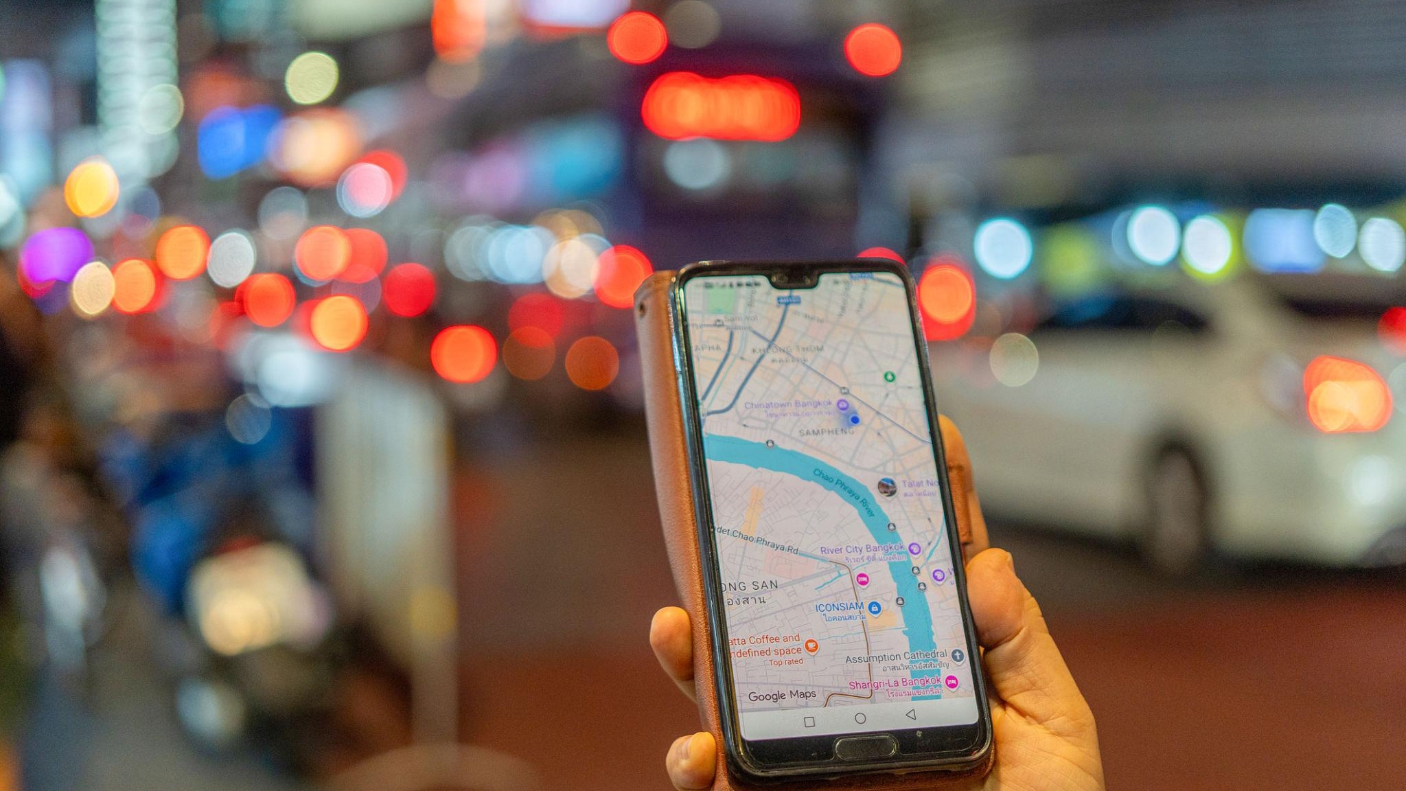
The Reality Check: Still the best tool for visually checking whether a route looks sketchy
Google Maps is not a dedicated running app.
But experienced runners repeatedly used it alongside specialized apps for one reason: Street View.
Before running in unfamiliar areas, testers routinely checked:
Sidewalk availability
Street lighting
Traffic density
Underpasses
Construction zones
Park entrances
No running app currently matches Google Maps for visual pre-run inspection.
In practice, the safest workflow was often:
Discover routes with Strava
Inspect them with Google Street View
Navigate with Footpath or Komoot
Pros
Best street-level visual inspection tool
Excellent satellite imagery
Offline maps work well
Completely free
Great traffic awareness
Cons
Not runner-specific
No running heatmaps
Route planning is limited for athletes
Pricing
Free
5.RunGo (iOS & Android)
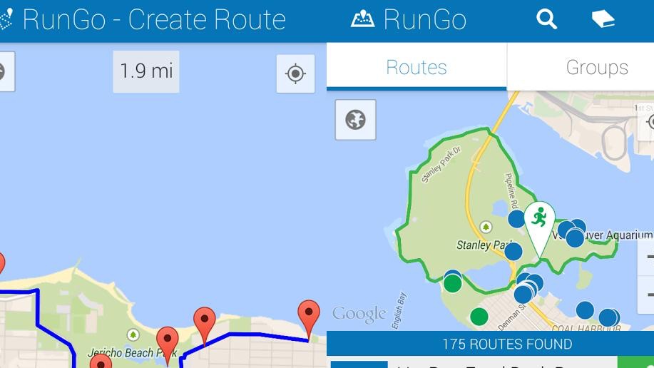
The Reality Check: Surprisingly useful for turn-by-turn running guidance
RunGo focuses heavily on audio navigation.
That sounds minor until someone tries navigating a complicated urban route while running hard.
During testing, RunGo’s spoken turn alerts significantly reduced phone-checking in busy downtown areas. The app works especially well for runners who dislike staring at maps mid-run.
However, some runners complained that the live map experience still lags behind Strava or Garmin ecosystems.
Pros
Excellent voice-guided navigation
Strong Apple Watch support
Good for race routes and travel runs
Easy GPX importing
Cons
Community route discovery is weaker
Interface feels dated in places
Limited social features
Pricing
Free tier available
Premium subscription required for some navigation features
Final Verdict: Which App Is Actually Best?
For most runners traveling to unfamiliar cities, Strava is still the strongest overall choice.
The heatmaps alone solve the biggest challenge: identifying routes real runners trust. That makes a huge difference for both safety and convenience.
But the smartest setup during testing was actually a combination:
Strava for discovering popular routes
Google Maps for safety inspection
Footpath for refining and navigating routes
No single app perfectly guarantees safety. But together, these tools dramatically reduce the chances of ending up running beside six lanes of traffic in a city nobody knows.
And honestly, that’s the real win.